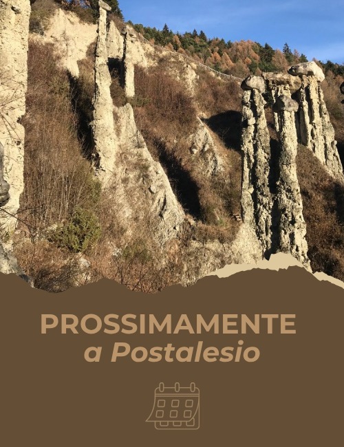
Pyramids of Postalesio: a landscape sculpted by time in Valtellina
A few kilometers from Sondrio, in the municipality of Postalesio, there is a place that amazes everyone who visits it: the Earth Pyramids, a geological wonder shaped by time, water, and wind with millennia of patience. We are in the heart of Valtellina, where nature has created a truly unique setting.
🌟 What are the earth pyramids?
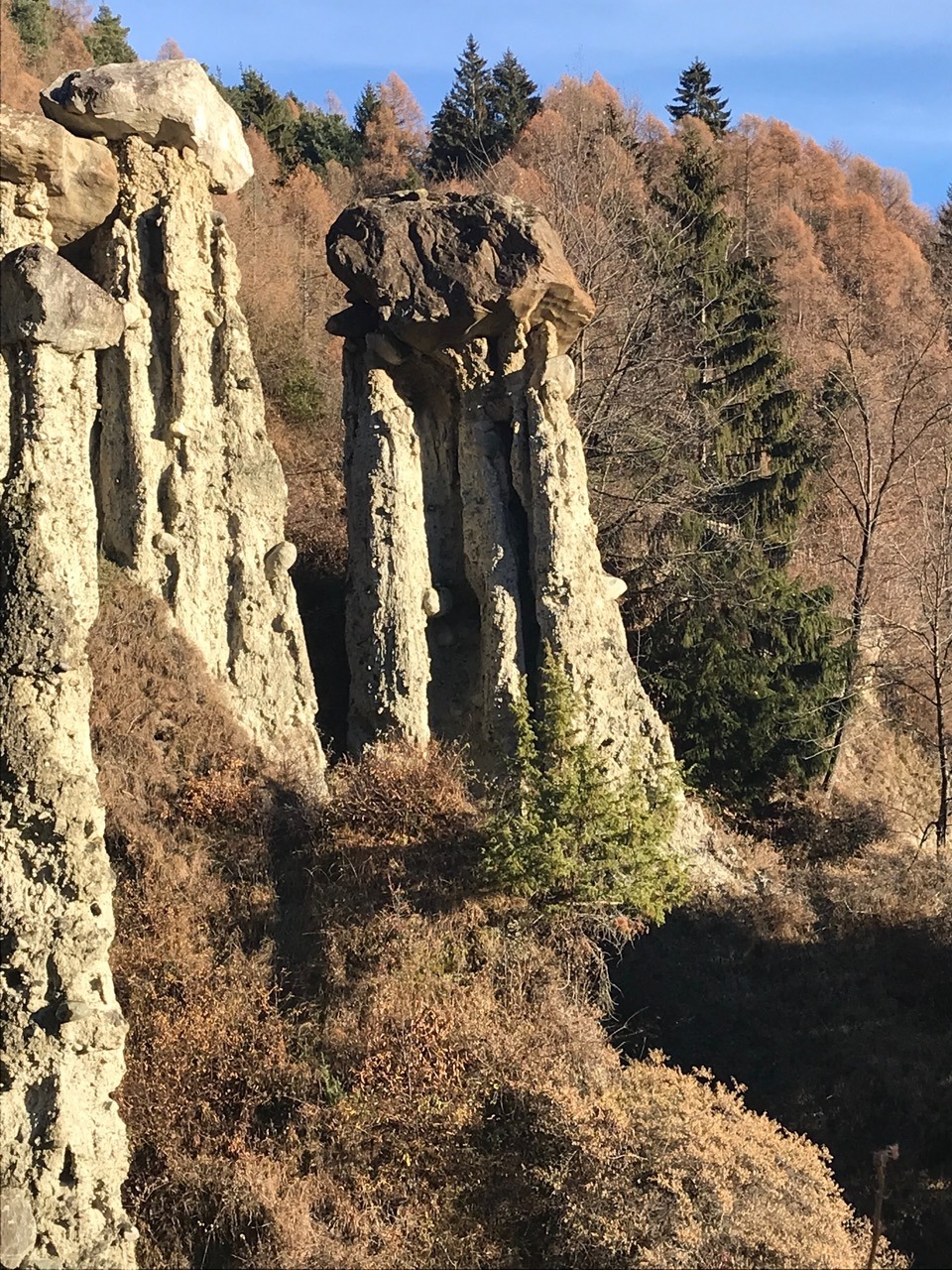
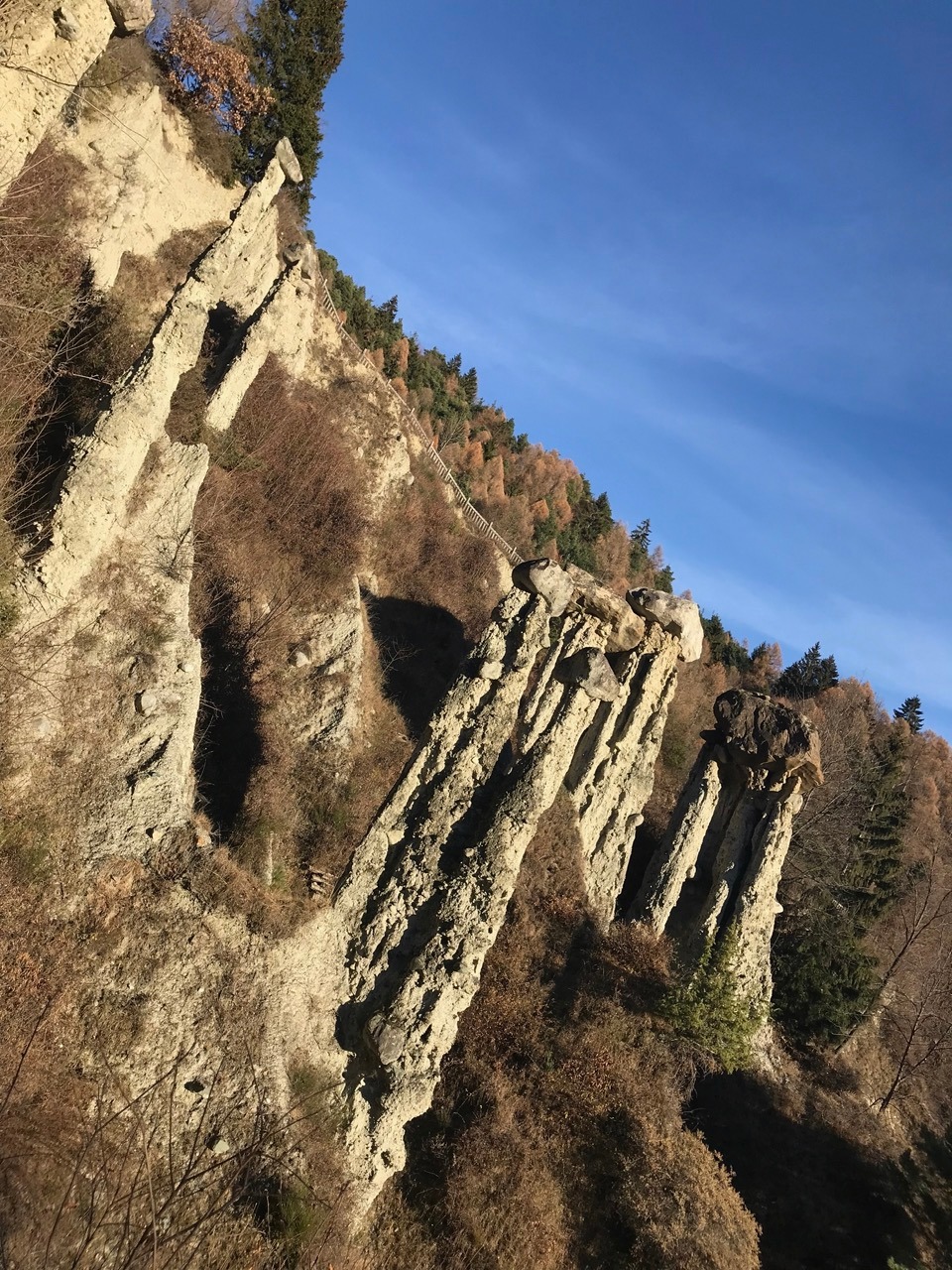
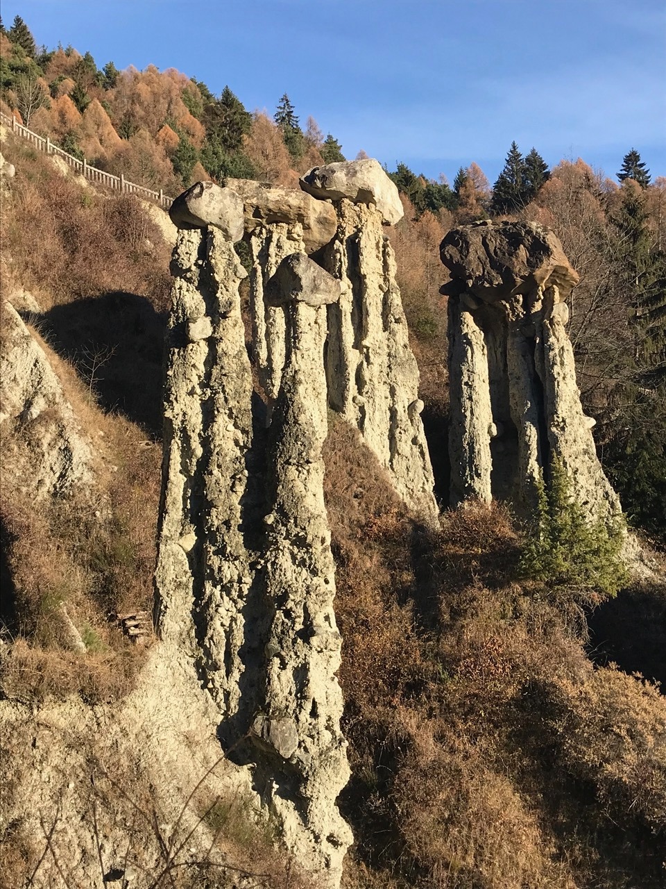
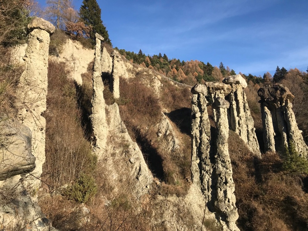
The earth pyramids of Postalesio were formed over time on moraine deposits left by the great glacier of Valtellina during the last ice age. Rain, erosion, and the unique terrain have sculpted columns up to 30 meters high, some of which are topped by boulders: a kind of "hat" that protects the underlying column, slowing down erosion.
This type of formation is called differential erosion and is a rare but fascinating process. The pyramids are in continuous transformation: some collapse, while others slowly form, year after year.
The site is now protected as the Nature Reserve of the Pyramids of Postalesio, established in 1984, and represents one of the most interesting examples of this phenomenon throughout Lombardy.
🚗 How to get there
The Pyramids are located about 10 km from Sondrio, in the Ronchiera locality, a fraction of Postalesio.
- From Sondrio, follow the SP15, enter the town, and follow the signs for the reserve.
- Parking available near the start of the trail.
- The site is also easily reachable from Morbegno and from all areas of medium Valtellina.
🚶♀️ Trails, route, and what to see
The visit path is a naturalistic loop, well signposted, immersed in forests and scenic views:
- Duration: about 1 hour - 1h30 at a leisurely pace
- Easy trail but not stroller accessible
- Presence of information panels along the way
- Picnic tables and shaded areas along the route
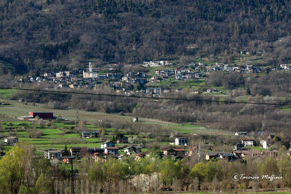
- Panoramic views of central Valtellina, Sondrio, and the Rhaetian Alps
Along the trail, there are raised observation points from which you can see the entire front of the pyramids.
🌳 Nature and biodiversity
Besides the geological aspect, the reserve is also a small treasure of biodiversity:
- Vegetation: chestnuts, birches, hazels, black hornbeams, downy oaks
- Fauna: squirrels, hares, foxes, raptors such as buzzards and kestrels, and many woodland birds
- Typical flora: ferns, mosses, spring undergrowth flowers such as anemones and violets
🗺️ Protected area and educational purposes
The Nature Reserve is managed for conservation, environmental education, and promotion of the territory. Guided tours, school outings, workshops for children, and hiking activities are often organized in collaboration with local entities.
ℹ️ Practical information
- Free access
- Open year-round, but recommended in spring and autumn
- No reservation required
- Hiking shoes, a hat, and water are recommended
For information:
- Municipality of Postalesio – Tel. 0342 565106
- www.comune.postalesio.so.it