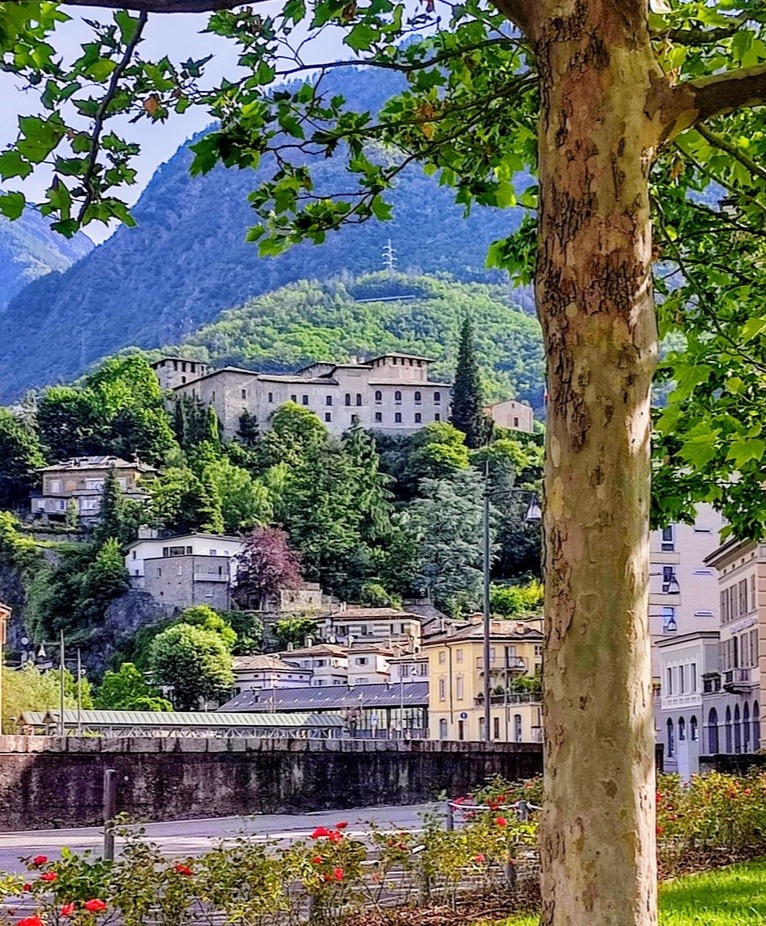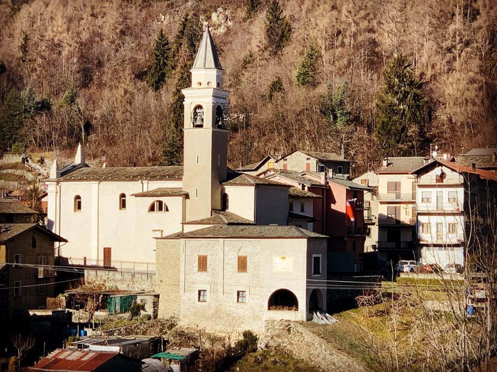
One of the most panoramic and well-known hamlets of the municipality of Sondrio is certainly Triangia. Located at 800 meters above sea level, it is easily recognizable by the antennas and repeaters visible from all over the valley.
From this wide and rolling plateau, on clear days, one can enjoy an extraordinary view of the entire Orobic mountain range, the Colmen di Dazio, the peaks of Val Gerola, Val Masino with the peak of Desenigo, the Aprica Pass, and the Adamello group.
Origins and legend
The name Triangia seems to have two possible origins:
- The first is linked to a legend according to which three angels appeared to the farmers, hence the name "Tri àngei", which then became Triangia.
- The second is linked to the Latin word "triangula", referring to the triangular shape of the territory.
In some ancient documents, the location is also referred to as Triangola.
A priest, a road, and a community
In a historical guide by CAI Sondrio (1884), it tells of the priest Don Parolini, who worked to have the road built between S. Anna and Triangia. He obtained the plans free of charge from some engineers, received small contributions from the municipality, and personally guided his parishioners in the Sunday work, completing the road in a short time. He is also credited with the establishment of the nursery and mixed school.
The Zòca di mort
Near the repeater enclosure, there is a large boulder known as Zòca di mort, featuring numerous cupules carved into it, likely dating back to the Bronze Age. The name may refer to ritual sacrifices, or to astronomical observations due to the strategic location.
How to get to Triangia
Triangia can be easily reached in about 15 minutes from Sondrio. Take the provincial road to Valmalenco, ascend to Mossini, where there are signs for S. Anna and Triangia. Continue through the hairpin bends, passing through S. Anna and Pradella di Sopra, until you reach the long corridor that leads to the village.
Along the way, especially in the evening, it is common to encounter roe deer and deer coming down to the meadows to graze. Paying attention while driving is essential in all seasons.
What to see and do in Triangia
- Monte Rolla: starting point for hikes and walks, home to the Ecomuseum.
- Church of S. Bernardo.
- a small trattoria.
- Historic washhouse.
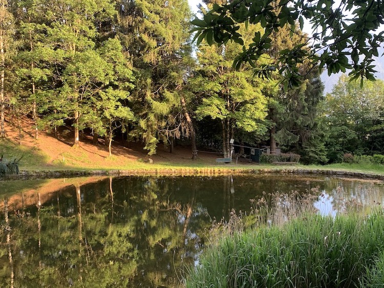
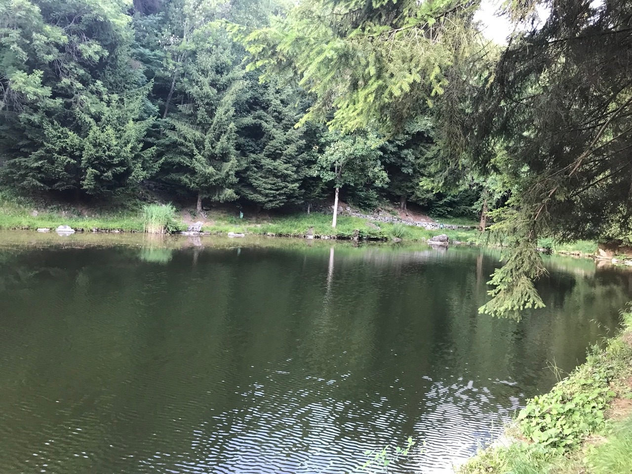
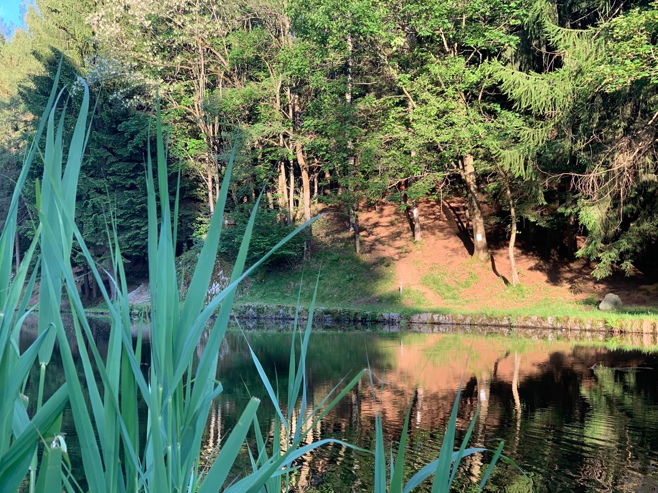
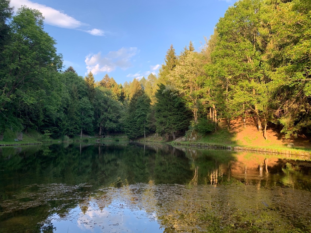
The pond of Triangia
About 2 km from the village, in the direction of Ligari, lies the picturesque Pond of Triangia, at an altitude of 900 meters. It is a small oasis, originally a pond and then expanded, set among firs, mountain flowers, and pathways.
An ideal place for picnics and relaxation. The perimeter can be walked in a few minutes on a naturalistic trail. The pond, though less clear than in the past, still hosts goldfish, frogs, salamanders, and newts. On the surface, yellow water lilies float, creating a fairytale atmosphere.
Survival trail
Since 2018, near the pond, an outdoor trail among the trees has been created, with ropes, cords, and survival techniques. A project designed to bring adults and children closer to the world of adventure in safety.
One more reason to visit Triangia and discover one of the most authentic and panoramic areas of Valtellina.
When the sun comes out, check the calendar, put on comfortable shoes, and go for a stroll: Triangia is waiting for you!